Flamingo E-Scooter Documentation
Flamingo E-Scooter
Flamingo E-Scooter is a Python package for analysing Flamingo e-scooter movement patterns in the Auckland CBD. Designed for Flamingo scooter data, it provides tools to identify route flows, detect parking violations, and assess connections to public transport. The package supports Auckland Council, Auckland Transport, and Flamingo Scooters in understanding scooter usage, informing infrastructure planning, improving the management of e-scooter parking, and identifying opportunities to better integrate micro-mobility with the wider transport network.
What this package does
- Load, clean, and analyse Flamingo trip datasets.
- Decode encoded route polylines into spatial geometries.
- Compute origin-destination flows across Auckland statistical areas.
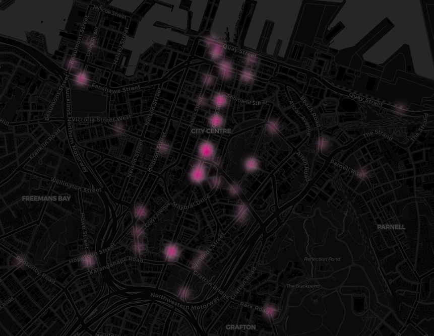
- Detect parking violations inside restricted zones.
- Measure transit proximity for first- and last-mile analysis.
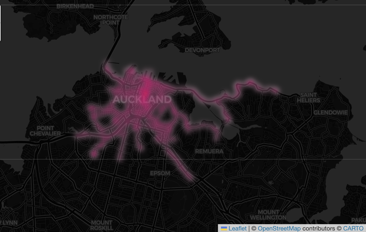
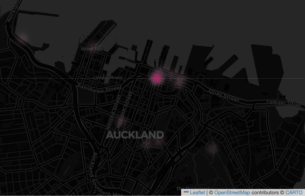
- Generate interactive visualisations of routes and violation hotspots.
Documentation pages
- Getting Started — install the package and run the first analysis.
- API Reference — complete function documentation.
- Examples — practical workflows and code recipes.
- Visualization Gallery — sample outputs and map guidance.
Quick start
from flamingo_escooter import analyse

trips = analyse()
print(trips[['origin', 'destination', 'is_violation']].head())
The analyse() function runs the full pipeline in one call: load trips, fetch SA boundary zones, compute OD flows, detect violations, and calculating trips potentially connecting to public transport.
Why use Flamingo E-Scooter?
- Works with Auckland CBD trip datasets and NZTM projection (EPSG:2193).
- Designed for rapid exploration of scooter behaviour and geofence compliance.
- Supports both raw CSV input and built-in demo data.
- Produces summary tables, violation metrics, and Folium map outputs.
Included resources
demo.ipynb— interactive notebook example.src/flamingo_escooter/data/flamingo_trip_dataset_sample.csv— bundled sample trip data.- Gallery images and visual examples stored in
docs/.
Sample outputs